
Buffalo Creek topographic map
Interactive map
Click on the map to display elevation.
About this map
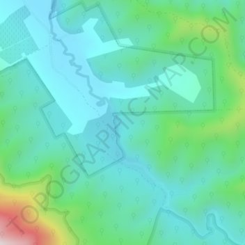
Name: Buffalo Creek topographic map, elevation, terrain.
Average elevation: 382 m
Minimum elevation: 253 m
Maximum elevation: 880 m
Other topographic maps
Click on a map to view its topography, its elevation and its terrain.
Myrtleford
Australia > Victoria > Myrtleford
Myrtleford, Alpine Shire, Hume, Victoria, 3737, Australia
Average elevation: 271 m