
Thank you for supporting this site ❤️
Make a donation
Make a donation
Gurjal topographic map
Click on the map to display elevation.
Thank you for supporting this site ❤️
Make a donation
Make a donation
About this map
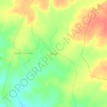
Name: Gurjal topographic map, elevation, terrain.
Location: Gurjal, Gandhari mandal, Kamareddy District, Telangana, India (18.33814 78.12132 18.37814 78.16132)
Average elevation: 543 m
Minimum elevation: 513 m
Maximum elevation: 571 m
Thank you for supporting this site ❤️
Make a donation
Make a donation