
Make a donation
Pebble Beach topographic map
Click on the map to display elevation.
Make a donation
About this map
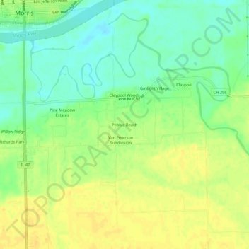
Name: Pebble Beach topographic map, elevation, terrain.
Location: Pebble Beach, Grundy County, Illinois, 60450, United States (41.31948 -88.42007 41.35948 -88.38007)
Average elevation: 159 m
Minimum elevation: 146 m
Maximum elevation: 170 m
Make a donation
Other topographic maps
Click on a map to view its topography, its elevation and its terrain.
Morris
United States > Illinois > Grundy County
Morris is located in northeast Grundy County along U.S. Route 6 and Illinois Route 47 and on the north side of the Illinois River at an elevation of 515 feet (157 m).
Average elevation: 162 m
Make a donation
Morris
United States > Illinois > Grundy County
Morris is located in northeast Grundy County along U.S. Route 6 and Illinois Route 47 and on the north side of the Illinois River at an elevation of 515 feet (157 m).
Average elevation: 162 m
Make a donation