
Ban Nong Yai topographic map
Interactive map
Click on the map to display elevation.
About this map
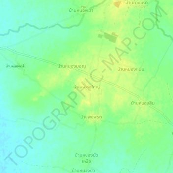
Name: Ban Nong Yai topographic map, elevation, terrain.
Location: Ban Nong Yai, Sa Kamphaeng Yai, Si Sa Ket Province, Thailand (15.09682 104.06951 15.13682 104.10951)
Average elevation: 145 m
Minimum elevation: 135 m
Maximum elevation: 155 m
Other topographic maps
Click on a map to view its topography, its elevation and its terrain.
Ban Khok
Thailand > Si Sa Ket Province > Ban Khok
Ban Khok, Si Sa Ket Province, Thailand
Average elevation: 147 m