
Oosterbos topographic map
Interactive map
Click on the map to display elevation.
About this map
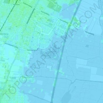
Name: Oosterbos topographic map, elevation, terrain.
Location: Oosterbos, Heiloo, Noord-Holland, Nederland (52.58478 4.71149 52.58927 4.72045)
Average elevation: 1 m
Minimum elevation: -3 m
Maximum elevation: 5 m
Other topographic maps
Click on a map to view its topography, its elevation and its terrain.
Bollendorp
Nederland > Noord-Holland > Heiloo
Bollendorp, Heiloo, Noord-Holland, Nederland, 1851 PG, Nederland
Average elevation: 1 m