
Mount Fyffe topographic map
Click on the map to display elevation.
About this map
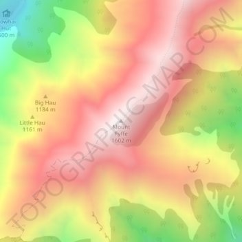
Name: Mount Fyffe topographic map, elevation, terrain.
Location: Mount Fyffe, Kaikōura, Canterbury, New Zealand (-42.31050 173.61238 -42.31040 173.61248)
Average elevation: 1,142 m
Minimum elevation: 454 m
Maximum elevation: 1,597 m
Canterbury trails, hiking, mountain biking, running and outdoor activities