
Thank you for supporting this site ❤️
Make a donation
Make a donation
Bellefont topographic map
Click on the map to display elevation.
Thank you for supporting this site ❤️
Make a donation
Make a donation
About this map
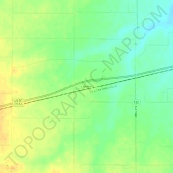
Name: Bellefont topographic map, elevation, terrain.
Location: Bellefont, Ford County, Kansas, United States (37.85298 -99.67804 37.89298 -99.63804)
Average elevation: 720 m
Minimum elevation: 705 m
Maximum elevation: 734 m
Thank you for supporting this site ❤️
Make a donation
Make a donation