
Thank you for supporting this site ❤️
Make a donation
Make a donation
San Esteban topographic map
Click on the map to display elevation.
Thank you for supporting this site ❤️
Make a donation
Make a donation
About this map
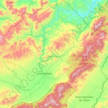
Name: San Esteban topographic map, elevation, terrain.
Location: San Esteban, Olancho, Honduras (15.03207 -85.94791 15.59623 -85.45854)
Average elevation: 747 m
Minimum elevation: 138 m
Maximum elevation: 1,835 m
Thank you for supporting this site ❤️
Make a donation
Make a donation