
Thank you for supporting this site ❤️
Make a donation
Make a donation
Panaga topographic map
Click on the map to display elevation.
Thank you for supporting this site ❤️
Make a donation
Make a donation
About this map
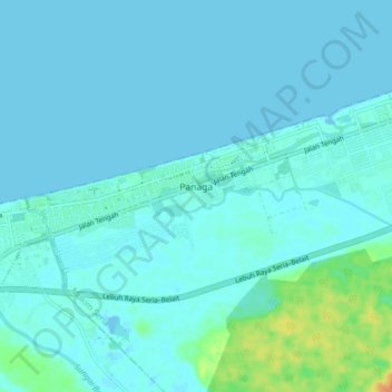
Name: Panaga topographic map, elevation, terrain.
Location: Panaga, Mukim Seria, Belait District, KB4533, Brunei (4.57829 114.25200 4.61972 114.33023)
Average elevation: 4 m
Minimum elevation: -2 m
Maximum elevation: 33 m
Thank you for supporting this site ❤️
Make a donation
Make a donation