
Thank you for supporting this site ❤️
Make a donation
Make a donation
Montfoort topographic map
Click on the map to display elevation.
Thank you for supporting this site ❤️
Make a donation
Make a donation
About this map
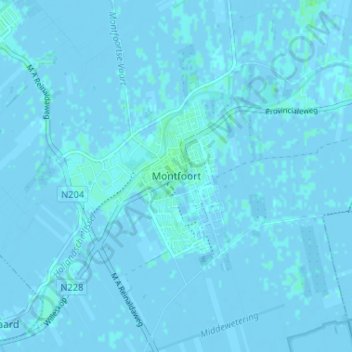
Name: Montfoort topographic map, elevation, terrain.
Location: Montfoort, Utrecht, Nederland, 3417, Nederland (52.02419 4.93140 52.06419 4.97140)
Average elevation: 0 m
Minimum elevation: -3 m
Maximum elevation: 4 m
Thank you for supporting this site ❤️
Make a donation
Make a donation
Other topographic maps
Click on a map to view its topography, its elevation and its terrain.