
Thank you for supporting this site ❤️
Make a donation
Make a donation
Nanyang topographic map
Click on the map to display elevation.
Thank you for supporting this site ❤️
Make a donation
Make a donation
About this map
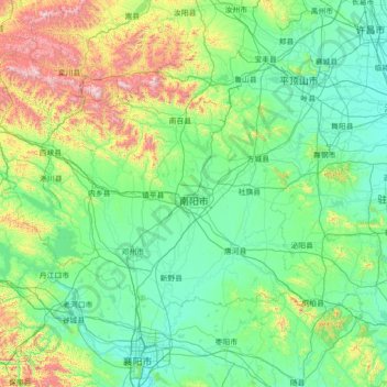
Name: Nanyang topographic map, elevation, terrain.
Location: Nanyang, Henan, China (32.27120 110.97617 33.80194 113.80908)
Average elevation: 325 m
Minimum elevation: 52 m
Maximum elevation: 2,127 m
Thank you for supporting this site ❤️
Make a donation
Make a donation