
Clinton topographic map
Click on the map to display elevation.
About this map
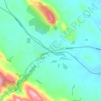
Name: Clinton topographic map, elevation, terrain.
Location: Clinton, Clutha District, Otago, 9534, New Zealand (-46.22209 169.35524 -46.18209 169.39524)
Average elevation: 153 m
Minimum elevation: 94 m
Maximum elevation: 336 m
Clutha District trails, hiking, mountain biking, running and outdoor activities
Other topographic maps
Click on a map to view its topography, its elevation and its terrain.