
Amherst topographic map
Interactive map
Click on the map to display elevation.
About this map
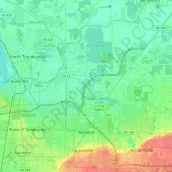
Name: Amherst topographic map, elevation, terrain.
Location: Amherst, Erie County, New York, United States (42.94584 -78.83250 43.08708 -78.69684)
Average elevation: 184 m
Minimum elevation: 169 m
Maximum elevation: 220 m