
Olonga topographic map
Interactive map
Click on the map to display elevation.
About this map
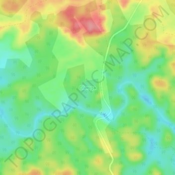
Name: Olonga topographic map, elevation, terrain.
Location: Olonga, Haut-Ogooué Province, Gabon (-1.19120 13.51435 -1.15120 13.55435)
Average elevation: 322 m
Minimum elevation: 281 m
Maximum elevation: 380 m