
Mapandan topographic map
Click on the map to display elevation.
About this map
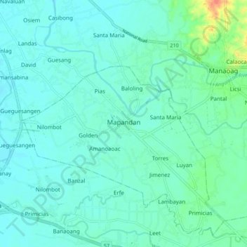
Name: Mapandan topographic map, elevation, terrain.
Location: Mapandan, Pangasinan, Ilocos Region, 2419, Philippines (15.98636 120.41370 16.06636 120.49370)
Average elevation: 13 m
Minimum elevation: 4 m
Maximum elevation: 55 m
Other topographic maps
Click on a map to view its topography, its elevation and its terrain.