
Castle Hill Peak topographic map
Interactive map
Click on the map to display elevation.
About this map
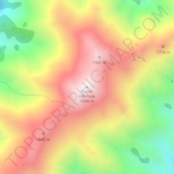
Name: Castle Hill Peak topographic map, elevation, terrain.
Location: Castle Hill Peak, Selwyn District, Canterbury, New Zealand (-43.25794 171.76972 -43.25784 171.76982)
Average elevation: 1,512 m
Minimum elevation: 960 m
Maximum elevation: 1,985 m
Selwyn District trails, hiking, mountain biking, running and outdoor activities
Other topographic maps
Click on a map to view its topography, its elevation and its terrain.