
Thank you for supporting this site ❤️
Make a donation
Make a donation
Palmerston topographic map
Click on the map to display elevation.
Thank you for supporting this site ❤️
Make a donation
Make a donation
About this map
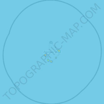
Name: Palmerston topographic map, elevation, terrain.
Location: Palmerston, Cook Islands (-18.29611 -163.40848 -17.78701 -162.90282)
Average elevation: 0 m
Minimum elevation: 0 m
Maximum elevation: 20 m
Thank you for supporting this site ❤️
Make a donation
Make a donation
Other topographic maps
Click on a map to view its topography, its elevation and its terrain.
Takutea
Takutea is an oval island roughly 1 mile (2 kilometres) long and 3/4 of a mile across. It consists entirely of sand, with a maximum elevation of 20 feet (6 metres). The island is surrounded by a narrow reef.
Average elevation: 1 m