
Boise City topographic map
Interactive map
Click on the map to display elevation.
About this map
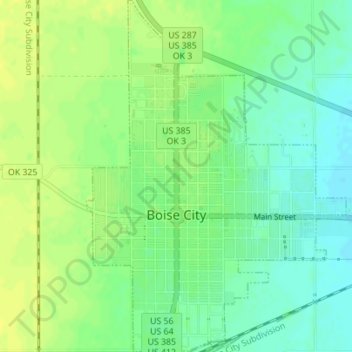
Name: Boise City topographic map, elevation, terrain.
Average elevation: 1,271 m
Minimum elevation: 1,261 m
Maximum elevation: 1,279 m
Other topographic maps
Click on a map to view its topography, its elevation and its terrain.
Keyes
United States > Oklahoma > Cimarron County
Keyes, Cimarron County, Oklahoma, 73947, United States
Average elevation: 1,201 m
Kenton
United States > Oklahoma > Cimarron County
Kenton, Cimarron County, Oklahoma, 73946, United States
Average elevation: 1,341 m