
Arsamas topographic map
Interactive map
Click on the map to display elevation.
About this map
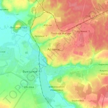
Name: Arsamas topographic map, elevation, terrain.
Average elevation: 149 m
Minimum elevation: 114 m
Maximum elevation: 182 m
Other topographic maps
Click on a map to view its topography, its elevation and its terrain.
Arsamas
Russland > Oblast Nischni Nowgorod > городской округ Арзамас > Arsamas
Arsamas, городской округ Арзамас, Oblast Nischni Nowgorod, Föderationskreis Wolga, 607224, Russland
Average elevation: 154 m