
Thank you for supporting this site ❤️
Make a donation
Make a donation
Rock Lake topographic map
Click on the map to display elevation.
Thank you for supporting this site ❤️
Make a donation
Make a donation
About this map
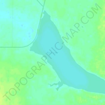
Name: Rock Lake topographic map, elevation, terrain.
Location: Rock Lake, County of Newell, Alberta, Canada (50.67682 -112.02744 50.70312 -111.97606)
Average elevation: 764 m
Minimum elevation: 758 m
Maximum elevation: 773 m
Thank you for supporting this site ❤️
Make a donation
Make a donation