
Luggate topographic map
Interactive map
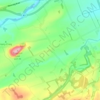
Click on the map to display elevation.
About this map
Name: Luggate topographic map, elevation, terrain.
Location: Luggate, East Lothian, Scotland, EH41 4PZ, United Kingdom (55.94345 -2.66824 55.98345 -2.62824)
Average elevation: 88 m
Minimum elevation: 24 m
Maximum elevation: 218 m