
Thank you for supporting this site ❤️
Make a donation
Make a donation
Les Andelys topographic map
Click on the map to display elevation.
Thank you for supporting this site ❤️
Make a donation
Make a donation
About this map
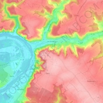
Name: Les Andelys topographic map, elevation, terrain.
Location: Les Andelys, Eure, Normandy, Metropolitan France, 27700, France (49.20027 1.36759 49.27812 1.48040)
Average elevation: 100 m
Minimum elevation: 7 m
Maximum elevation: 164 m
Thank you for supporting this site ❤️
Make a donation
Make a donation