
Thank you for supporting this site ❤️
Make a donation
Make a donation
Kirkwell topographic map
Click on the map to display elevation.
Thank you for supporting this site ❤️
Make a donation
Make a donation
About this map
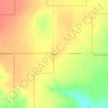
Name: Kirkwell topographic map, elevation, terrain.
Location: Kirkwell, Baca County, Colorado, United States (37.12850 -102.96071 37.16850 -102.92071)
Average elevation: 1,492 m
Minimum elevation: 1,458 m
Maximum elevation: 1,509 m
Thank you for supporting this site ❤️
Make a donation
Make a donation