
白川村 topographic map
Interactive map
Click on the map to display elevation.
About this map
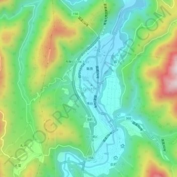
Name: 白川村 topographic map, elevation, terrain.
Location: 白川村, 大野郡, Préfecture de Gifu, Japon (36.25121 136.87867 36.29121 136.91867)
Average elevation: 667 m
Minimum elevation: 462 m
Maximum elevation: 1,095 m
Other topographic maps
Click on a map to view its topography, its elevation and its terrain.