
Thank you for supporting this site ❤️
Make a donation
Make a donation
Batahan topographic map
Click on the map to display elevation.
Thank you for supporting this site ❤️
Make a donation
Make a donation
About this map
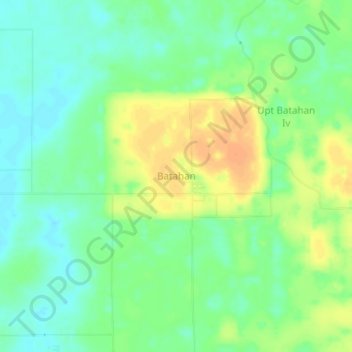
Name: Batahan topographic map, elevation, terrain.
Location: Batahan, Mandailing Natal, North Sumatra, Sumatra, Indonesia (0.50790 99.15177 0.54790 99.19177)
Average elevation: 15 m
Minimum elevation: 0 m
Maximum elevation: 36 m
Thank you for supporting this site ❤️
Make a donation
Make a donation
Other topographic maps
Click on a map to view its topography, its elevation and its terrain.