
Fürth topographic map
Interactive map
Click on the map to display elevation.
About this map
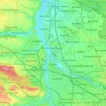
Name: Fürth topographic map, elevation, terrain.
Location: Fürth, Bavaria, Germany (49.43618 10.89316 49.54125 11.02848)
Average elevation: 309 m
Minimum elevation: 278 m
Maximum elevation: 390 m