
Westmorland topographic map
Interactive map
Click on the map to display elevation.
About this map
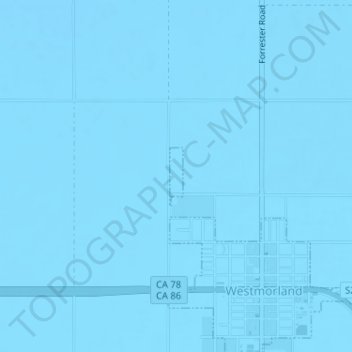
Name: Westmorland topographic map, elevation, terrain.
Location: Westmorland, Imperial County, California, United States (33.04374 -115.63001 33.04822 -115.62879)
Average elevation: -51 m
Minimum elevation: -56 m
Maximum elevation: -44 m
Other topographic maps
Click on a map to view its topography, its elevation and its terrain.
Salton City
United States > California > Imperial County
In the 1970s, most of the buildings constructed along the shoreline, including the city's marina were abandoned due to rising sea elevation. In the 1980s, the Imperial Irrigation District took proactive water conservation measures to reduce the flow of unused canal water into the Salton Sea. Throughout the…
Average elevation: -35 m