
Aragua de Maturín topographic map
Interactive map
Click on the map to display elevation.
About this map
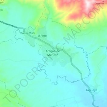
Name: Aragua de Maturín topographic map, elevation, terrain.
Location: Aragua de Maturín, Distrito Piar, Estado Monagas, Venezuela (9.92797 -63.52732 10.00797 -63.44732)
Average elevation: 275 m
Minimum elevation: 151 m
Maximum elevation: 825 m