
Crownthorpe topographic map
Interactive map
Click on the map to display elevation.
About this map
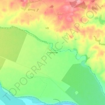
Name: Crownthorpe topographic map, elevation, terrain.
Location: Crownthorpe, Hastings District, Hawke's Bay, New Zealand (-39.59106 176.54182 -39.55106 176.58182)
Average elevation: 168 m
Minimum elevation: 102 m
Maximum elevation: 239 m
Hastings District trails, hiking, mountain biking, running and outdoor activities
Other topographic maps
Click on a map to view its topography, its elevation and its terrain.