
Thank you for supporting this site ❤️
Make a donation
Make a donation
航天镇 topographic map
Click on the map to display elevation.
Thank you for supporting this site ❤️
Make a donation
Make a donation
About this map
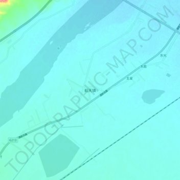
Name: 航天镇 topographic map, elevation, terrain.
Location: 航天镇, 金塔县, 酒泉市, Gansu, 735300, China (40.33088 99.59350 40.41088 99.67350)
Average elevation: 1,164 m
Minimum elevation: 1,156 m
Maximum elevation: 1,264 m
Thank you for supporting this site ❤️
Make a donation
Make a donation