
Weiherhaus topographic map
Interactive map
Click on the map to display elevation.
About this map
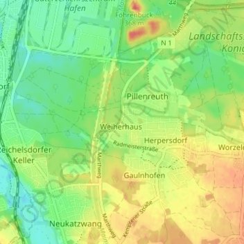
Name: Weiherhaus topographic map, elevation, terrain.
Location: Weiherhaus, Nuremberg, Bavaria, 90455, Germany (49.35562 11.04730 49.39562 11.08730)
Average elevation: 327 m
Minimum elevation: 302 m
Maximum elevation: 357 m