
Vachery topographic map
Interactive map
Click on the map to display elevation.
About this map
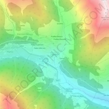
Name: Vachery topographic map, elevation, terrain.
Location: Vachery, Aosta Valley, Italy (45.80210 7.21630 45.84210 7.25630)
Average elevation: 1,692 m
Minimum elevation: 1,085 m
Maximum elevation: 2,740 m