
Silwan topographic map
Click on the map to display elevation.
About this map
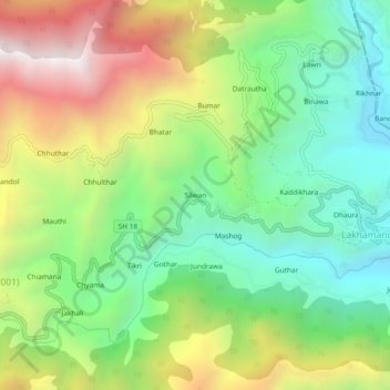
Name: Silwan topographic map, elevation, terrain.
Location: Silwan, Chakrata, Dehradun District, Uttarakhand, India (30.71658 78.02721 30.75658 78.06721)
Average elevation: 1,540 m
Minimum elevation: 995 m
Maximum elevation: 2,388 m