
Thank you for supporting this site ❤️
Make a donation
Make a donation
Laer topographic map
Click on the map to display elevation.
Thank you for supporting this site ❤️
Make a donation
Make a donation
About this map
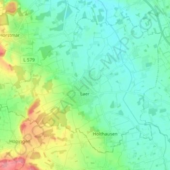
Name: Laer topographic map, elevation, terrain.
Location: Laer, Kreis Steinfurt, North Rhine-Westphalia, 48366, Germany (52.02660 7.29046 52.08974 7.41818)
Average elevation: 85 m
Minimum elevation: 61 m
Maximum elevation: 156 m
Thank you for supporting this site ❤️
Make a donation
Make a donation