
Castelserás topographic map
Interactive map
Click on the map to display elevation.
About this map
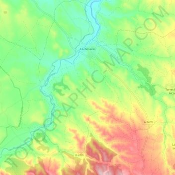
Name: Castelserás topographic map, elevation, terrain.
Location: Castelserás, Bajo Aragón, Teruel, Aragón, 44630, España (40.91922 -0.17887 41.00479 -0.09546)
Average elevation: 433 m
Minimum elevation: 324 m
Maximum elevation: 598 m