
Glendhu Bay topographic map
Interactive map
Click on the map to display elevation.
About this map
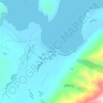
Name: Glendhu Bay topographic map, elevation, terrain.
Location: Glendhu Bay, Queenstown-Lakes District, Otago, New Zealand (-44.69394 168.99506 -44.65394 169.03506)
Average elevation: 406 m
Minimum elevation: 275 m
Maximum elevation: 1,399 m