
Erra jõgi topographic map
Interactive map
Click on the map to display elevation.
About this map
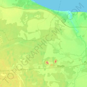
Name: Erra jõgi topographic map, elevation, terrain.
Location: Erra jõgi, Lüganuse vald, Kreis Ost-Wierland, 43135, Estland (59.36959 26.79171 59.40668 27.03960)
Average elevation: 48 m
Minimum elevation: 0 m
Maximum elevation: 154 m
Other topographic maps
Click on a map to view its topography, its elevation and its terrain.
Kriilevälja küla
Kriilevälja küla, Kriilevälja, Paide linn, Kreis Jerwen, Estland
Average elevation: 64 m
Vilama küla
Vilama küla, Vilama, Kose vald, Harju maakond, Estland
Average elevation: 69 m