
Anongo topographic map
Interactive map
Click on the map to display elevation.
About this map
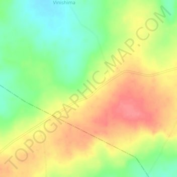
Name: Anongo topographic map, elevation, terrain.
Location: Anongo, Ushongo, Benue State, Nigeria (7.03000 8.84667 7.07000 8.88667)
Average elevation: 157 m
Minimum elevation: 120 m
Maximum elevation: 192 m