
Thank you for supporting this site ❤️
Make a donation
Make a donation
Rodeput topographic map
Click on the map to display elevation.
Thank you for supporting this site ❤️
Make a donation
Make a donation
About this map
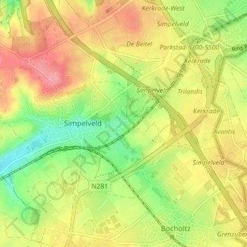
Name: Rodeput topographic map, elevation, terrain.
Location: Rodeput, Simpelveld, Limburg, Netherlands, 6369 SN, Netherlands (50.81548 5.97317 50.85548 6.01317)
Average elevation: 173 m
Minimum elevation: 128 m
Maximum elevation: 214 m
Thank you for supporting this site ❤️
Make a donation
Make a donation