
Naidi topographic map
Interactive map
Click on the map to display elevation.
About this map
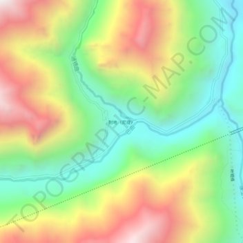
Name: Naidi topographic map, elevation, terrain.
Location: Naidi, Lhorong County, Nagjog, China (30.35820 96.29576 30.39820 96.33576)
Average elevation: 3,858 m
Minimum elevation: 3,279 m
Maximum elevation: 4,651 m