
Overasselt topographic map
Interactive map
Click on the map to display elevation.
About this map
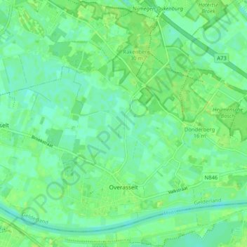
Name: Overasselt topographic map, elevation, terrain.
Location: Overasselt, Heumen, Gelderland, Netherlands (51.75210 5.75801 51.79515 5.83766)
Average elevation: 10 m
Minimum elevation: 4 m
Maximum elevation: 15 m