
Nieuw-Schoonebeek topographic map
Interactive map
Click on the map to display elevation.
About this map
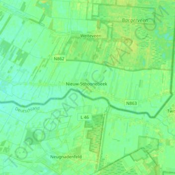
Name: Nieuw-Schoonebeek topographic map, elevation, terrain.
Location: Nieuw-Schoonebeek, Emmen, Drenthe, Netherlands (52.63271 6.91634 52.66154 7.05605)
Average elevation: 17 m
Minimum elevation: 11 m
Maximum elevation: 24 m