
Thank you for supporting this site ❤️
Make a donation
Make a donation
Gustavsberg topographic map
Click on the map to display elevation.
Thank you for supporting this site ❤️
Make a donation
Make a donation
About this map
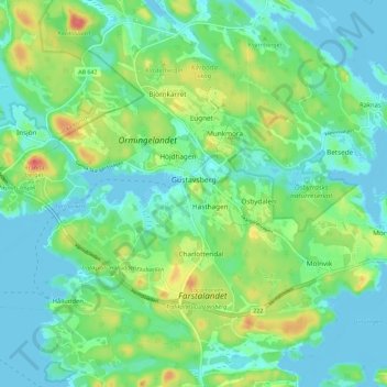
Name: Gustavsberg topographic map, elevation, terrain.
Location: Gustavsberg, Värmdö kommun, Stockholm County, Sweden (59.30321 18.31927 59.34381 18.43340)
Average elevation: 17 m
Minimum elevation: -3 m
Maximum elevation: 58 m
Thank you for supporting this site ❤️
Make a donation
Make a donation