
Thank you for supporting this site ❤️
Make a donation
Make a donation
Blue Ridge topographic map
Click on the map to display elevation.
Thank you for supporting this site ❤️
Make a donation
Make a donation
About this map
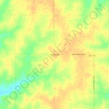
Name: Blue Ridge topographic map, elevation, terrain.
Location: Blue Ridge, Harrison County, Missouri, United States (40.17179 -93.95491 40.21179 -93.91491)
Average elevation: 301 m
Minimum elevation: 278 m
Maximum elevation: 311 m
Thank you for supporting this site ❤️
Make a donation
Make a donation
Other topographic maps
Click on a map to view its topography, its elevation and its terrain.