
Thank you for supporting this site ❤️
Make a donation
Make a donation
Padang topographic map
Click on the map to display elevation.
Thank you for supporting this site ❤️
Make a donation
Make a donation
About this map
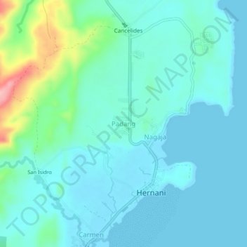
Name: Padang topographic map, elevation, terrain.
Location: Padang, Eastern Samar, Eastern Visayas, 6804, Philippines (11.31446 125.59449 11.35446 125.63449)
Average elevation: 26 m
Minimum elevation: -1 m
Maximum elevation: 150 m
Thank you for supporting this site ❤️
Make a donation
Make a donation