
Thma Koul topographic map
Interactive map
Click on the map to display elevation.
About this map
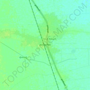
Name: Thma Koul topographic map, elevation, terrain.
Location: Thma Koul, Thma Koul District, Battambang, Cambodia (13.22015 103.04759 13.30015 103.12759)
Average elevation: 13 m
Minimum elevation: 8 m
Maximum elevation: 17 m