
Thank you for supporting this site ❤️
Make a donation
Make a donation
La Grange topographic map
Click on the map to display elevation.
Thank you for supporting this site ❤️
Make a donation
Make a donation
About this map
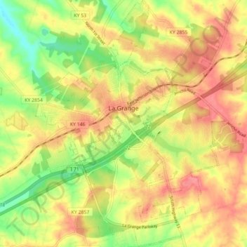
Name: La Grange topographic map, elevation, terrain.
Location: La Grange, Oldham County, Kentucky, 40031, United States (38.36891 -85.41014 38.43758 -85.33640)
Average elevation: 246 m
Minimum elevation: 201 m
Maximum elevation: 281 m
Thank you for supporting this site ❤️
Make a donation
Make a donation