
Sangthong District topographic map
Interactive map
Click on the map to display elevation.
About this map
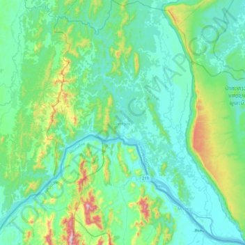
Name: Sangthong District topographic map, elevation, terrain.
Location: Sangthong District, Vientiane Prefecture, Laos (18.04334 102.01154 18.43741 102.34875)
Average elevation: 297 m
Minimum elevation: 162 m
Maximum elevation: 919 m
Other topographic maps
Click on a map to view its topography, its elevation and its terrain.
Vientiane Capital
Laos > Vientiane Prefecture > Chanthabuly District
Vientiane Capital, Chanthabuly District, Vientiane Prefecture, Laos
Average elevation: 187 m