
Hegganahalli topographic map
Interactive map
Click on the map to display elevation.
About this map
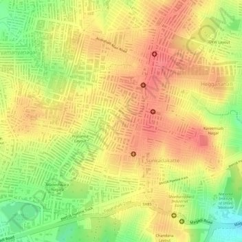
Name: Hegganahalli topographic map, elevation, terrain.
Average elevation: 907 m
Minimum elevation: 860 m
Maximum elevation: 933 m
Other topographic maps
Click on a map to view its topography, its elevation and its terrain.
Jnana Bharathi
Jnana Bharathi, Rajarajeshwari Nagar Zone, Bengaluru, Bangalore Urban, Karnataka, India
Average elevation: 850 m