
Mbinga topographic map
Interactive map
Click on the map to display elevation.
About this map
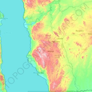
Name: Mbinga topographic map, elevation, terrain.
Location: Mbinga, Ruvuma, Südhochlandzone, Tansania (-11.58508 34.56823 -10.15214 35.40340)
Average elevation: 806 m
Minimum elevation: 469 m
Maximum elevation: 2,089 m
Other topographic maps
Click on a map to view its topography, its elevation and its terrain.